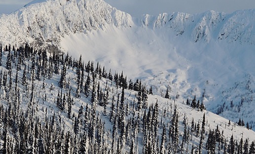
To assist backpackers and hikers, Avalanche Canada as developed a new app that is expected to help back country users find their way among the rolling mountain range.
The new tool brings real-time information sharing to recreational users. Deemed the Mountain Information Network (MIN) offers an easy and effective method for back country users to submit weather, snow-pack, and avalanche observations. The data collected can then be viewed on the main map of Avalanche Canada’s website and mobile app.
As listed on the mec.ca website, the key features of the app include:
• Detailed forecasts include avalanche danger ratings, snowpack summaries, and weather summaries
• Offline functionality that allows users to access cached forecast info for times when they’re in the field, without data network access
• Support for all of the CAC’s forecast regions, including Kananaskis Country’s and Parks Canada’s forecast regions.
• Interactive map makes locations easier to find
• List of recommended snow safety gear from the Canadian Avalanche Centre
• A new “observer network” function allows users to share recent photos, observations, and avalanche incidents.
Agencies/Canadajournal
 Canada Journal – News of the World Articles and videos to bring you the biggest Canadian news stories from across the country every day


