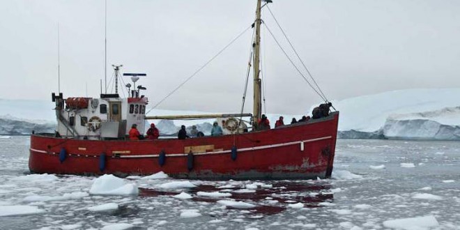
Arctic sea ice has set a new winter record by freezing to the smallest maximum extent in satellite records dating back to 1979 in new evidence of long-term climate change, US data has showed.
Arctic sea ice appears to have reached a maximum on February 25th of this year, when it covered 5.61 million square miles — 50,200 square miles lower than the previous lowest winter maximum in 2011. The NSIDC acknowledges the difficulty in identifying the exact high point, due to variability in seasonal trends, though there was “a clear downward trend” in ice coverage for several days following February 25th. “Over the next two to three weeks, periods of increase are still possible,” the NSIDC said in a report published Thursday. “However, it now appears unlikely that there could be sufficient growth to surpass the extent reached on February 25.”
[fwdevp preset_id=”8″ video_path=”47KvrOwGMJk”]Overall, Arctic sea ice grew by 3.83 million square miles this winter, which is significantly lower than last year. Sea ice levels reached a record low in 2012, and the NSIDC says this year’s low maximum is likely due to unusual wind patterns that led to warmer conditions over the Pacific side of the Arctic. Once sea ice reaches a maximum, it begins melting during the warmer spring and summer months, typically reaching a minimum around September. Declining levels of arctic sea ice could have a range of environmental and social implications, as Vox explains in greater detail.
The NSIDC will release a comprehensive analysis of 2014-2015 winter ice coverage in April, after data for March has been collected.
Agencies/Canadajournal
 Canada Journal – News of the World Articles and videos to bring you the biggest Canadian news stories from across the country every day


