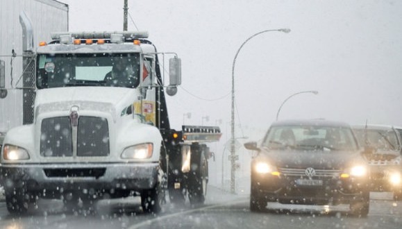
A significant winter storm is heading towards Central and Southern Ontario this weekend.
Environment Canada says the system should begin as snow Saturday before changing to freezing rain in the afternoon.
Snowfall amounts, before the change to freezing rain or rain occurs, will range from only a trace over Southwestern Ontario to 2 to 5 cm around and north of the Golden Horseshoe, to 10 cm or more over parts of Central and Eastern Ontario.
The freezing rain is generally expected to be brief in most locales, but more prolonged freezing rain is likely for areas northwest of the Golden Horseshoe on Saturday afternoon, and a freezing rain warning is now in effect there. Additionally, a prolonged freezing rain event is also expected for regions along the Ottawa Valley on Saturday night and into Sunday morning, and freezing rain warnings are likely to be issued for that area on Saturday morning.
On Sunday, temperatures are forecast to be well above freezing, reaching double digits in some areas. The warmth will be short lived, however, as a cold front will sweep across Southern Ontario from west to east through the day, bringing an end to the rain and a return to cold temperatures, strong winds and snow flurries.
Travel will likely be difficult at times this weekend, considering the changes in the weather during the storm.
Agencies/Canadajournal
 Canada Journal – News of the World Articles and videos to bring you the biggest Canadian news stories from across the country every day


