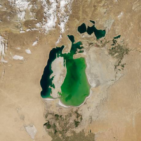
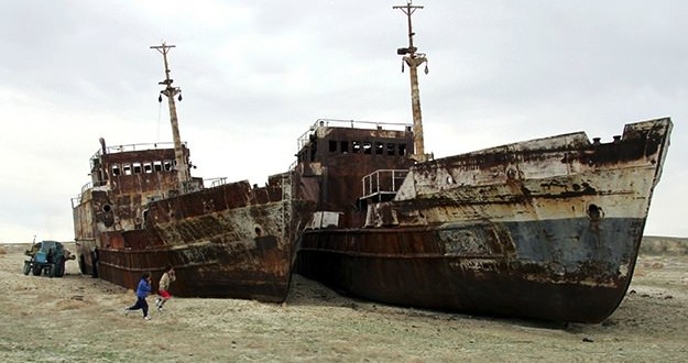
Aral Sea – Satellite images, released last week by NASA, reveal how a large section of the Aral Sea, a lake lying between Kazakhstan in the north and Karakalpakstan, an autonomous region of Uzbekistan, in the south, has dried out.

Today, the vast lake – formed 5.5 million years ago in Central Asia – in the middle of the Kyzylkum desert has shrunk to a level where water is no more visible to the eyes, revealed a series of images from Nasa’s Terra satellite.
A massive water diversion project begun by the Soviet Union in the 1960s caused it to shrink dramatically.
“It is likely the first time it has completely dried in 600 years since the diversion of the region’s major river Amu Darya to the Caspian Sea,” Philip Micklin from the Western Michigan University was quoted as saying in media reports.
According to NASA, this is happening because of low snowpack in the mountains that feed the lake.
Experts predict the giant lake will disappear completely by 2020.
According to the United Nations Environment Programme, more than 60 million people live in the Aral region – up fourfold since 1960.
Agencies/Canadajournal
 Canada Journal – News of the World Articles and videos to bring you the biggest Canadian news stories from across the country every day


